Welcome To Millard County
Millard County (/ˈmɪlərd/ MIL-ərd) is a county in the U.S. state of Utah. As of the 2020 United States Census, the population was 12,975.[1] Its county seat is Fillmore,[2] and the largest city is Delta.
History
The Utah Territory legislature created the county on October 4, 1851, with territory not previously covered by county creations and including some area in the future state of Nevada. It was named for the thirteenth US President Millard Fillmore, who was in office then.[3] Fillmore was designated as the county seat. The county boundaries were altered in 1852 and again in 1854. On March 2, 1861, the US government created the Nevada Territory, which effectively de-annexed the described portion of Millard County falling in that Territorial Proclamation. The county boundary was further altered in 1862, 1866, 1888, and in 1919. In 1921 a boundary adjustment with Sevier brought Millard to its present configuration.[4]
Fillmore, located near the geographic center of the territory, was originally built as the capital of Utah Territory. The Utah Territorial Legislature approved a plan to locate the capital in the Pahvant Valley. On October 28, 1851, Utah Governor Brigham Young traveled to the valley and chose the specific site for Fillmore. The town was surveyed that same day. A colonizing company soon followed; they built houses, a grist mill, and a sawmill. Construction of the Territorial Statehouse was initiated in 1852. The Territorial legislature met in Fillmore for the first (and only time) in 1855. The following year they voted to keep the capital in Great Salt Lake City.[5]
Geography
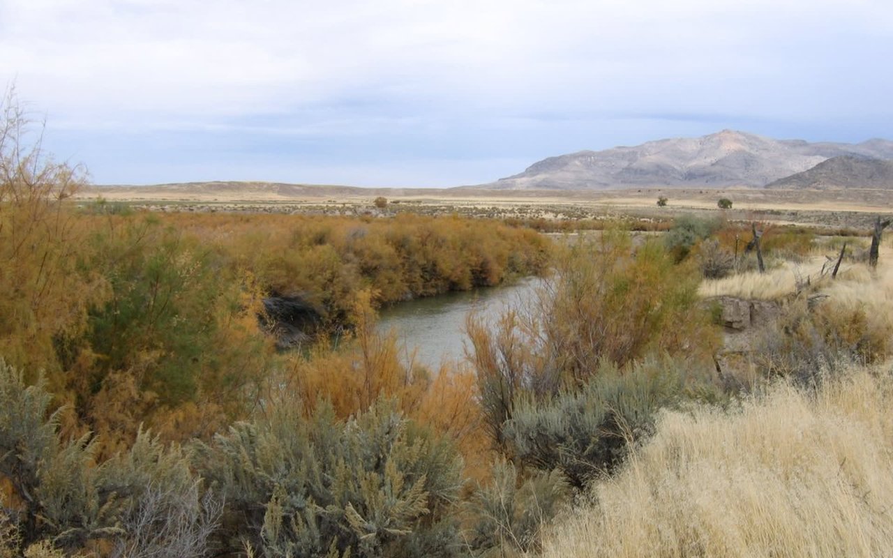
Millard County lies on the west side of Utah. Its west border abuts the east border of the state of Nevada. The county terrain consists of arid, rough undulating flatlands interrupted by numerous hills and mountain ridges.[6] The highest point in the county is Mine Camp Peak in the Central Utah Plateaus, at 10,222 feet (3,116 m) ASL.[7] The county has a total area of 6,828 square miles (17,680 km2), of which 6,572 square miles (17,020 km2) is land and 255 square miles (660 km2) (3.7%) is water.[8] It is the third-largest county in Utah by area.
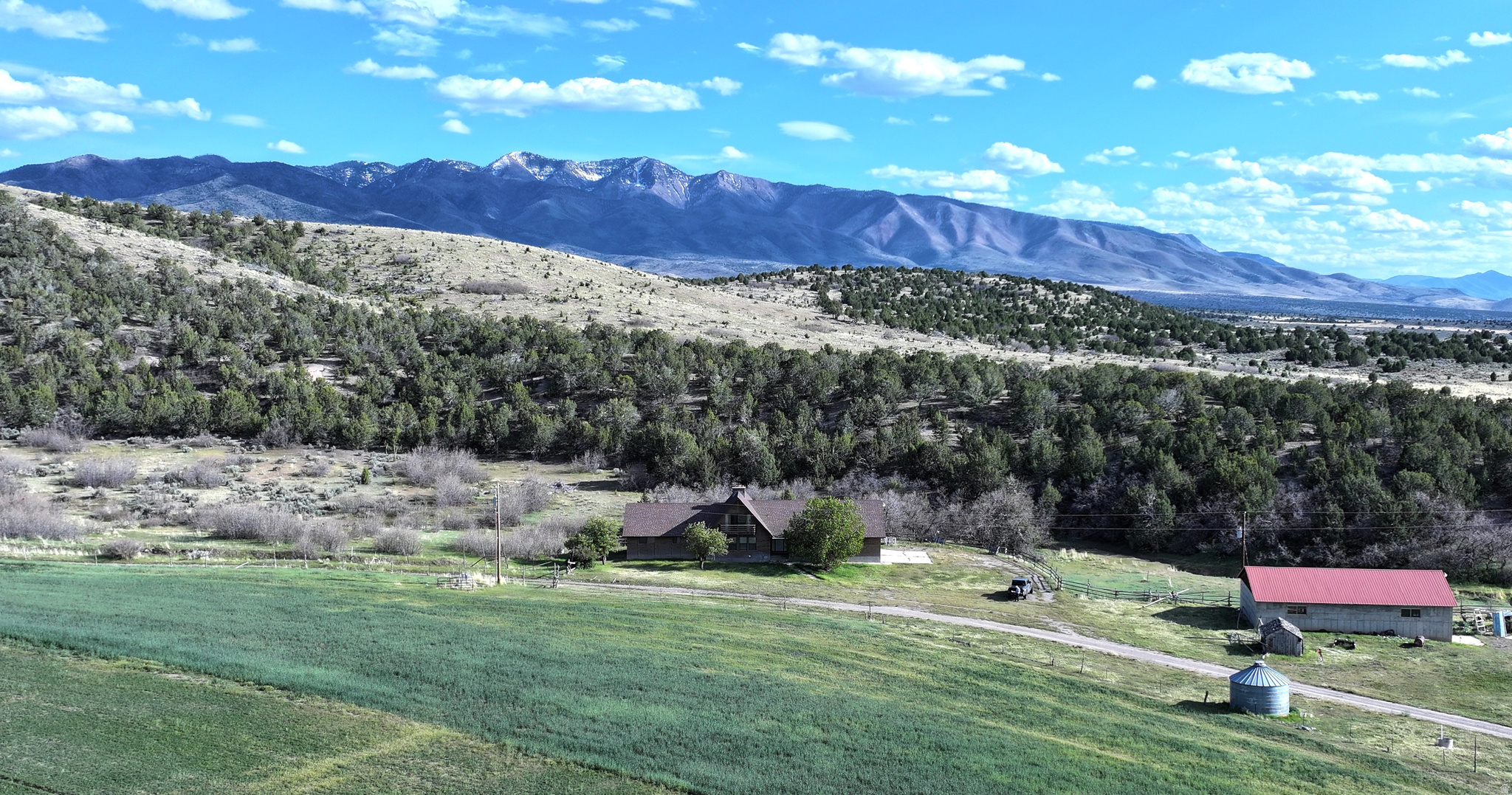
The Sevier Desert covers much of Millard County, being the seafloor of ancient Lake Bonneville. Sevier Lake, a mostly dry remnant of Lake Bonneville, is in central Millard County. The Pahvant Mountains form the county's eastern boundary. Fillmore and other farming communities lie at the base of the Pahvant Mountains. Delta sits several miles from the banks of the Sevier River in the middle of the basin.